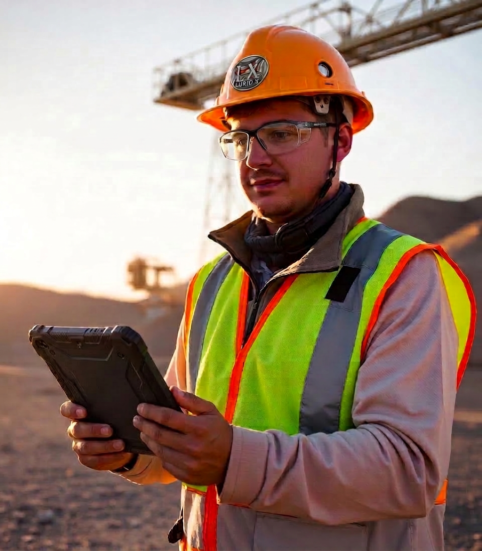
About Lurid X
Industrial Drone Solutions with Operational Experience
Lurid X was founded to provide professional aerial mapping, inspection, and documentation services for mining, construction, and industrial operations.
With a background in mining operations, workforce development, safety systems, planning, and industrial environments, Lurid X brings a practical understanding of how aerial data can support safer operations and better project visibility.
The company utilizes modern drone technology to capture accurate visual information while minimizing operational disruption and improving access to difficult or hazardous areas.
What we are.
The difference between "Can you film our event?" and "Can you support a $40 million operational project?" matters enormously in mining and construction.