Capabilities
Services
32.8339° N / 109.7076° W / Safford, AZ
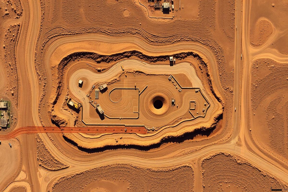
01 // AERIAL
Aerial Mapping & Photogrammetry
High-resolution orthomosaic maps, 3D models, elevation data, and aerial site documentation for mining, construction, and industrial projects.
Deliverables
- Orthomosaic maps
- 3D terrain models
- Site overviews
- Elevation visualization
- Progress tracking imagery
- Volume documentation
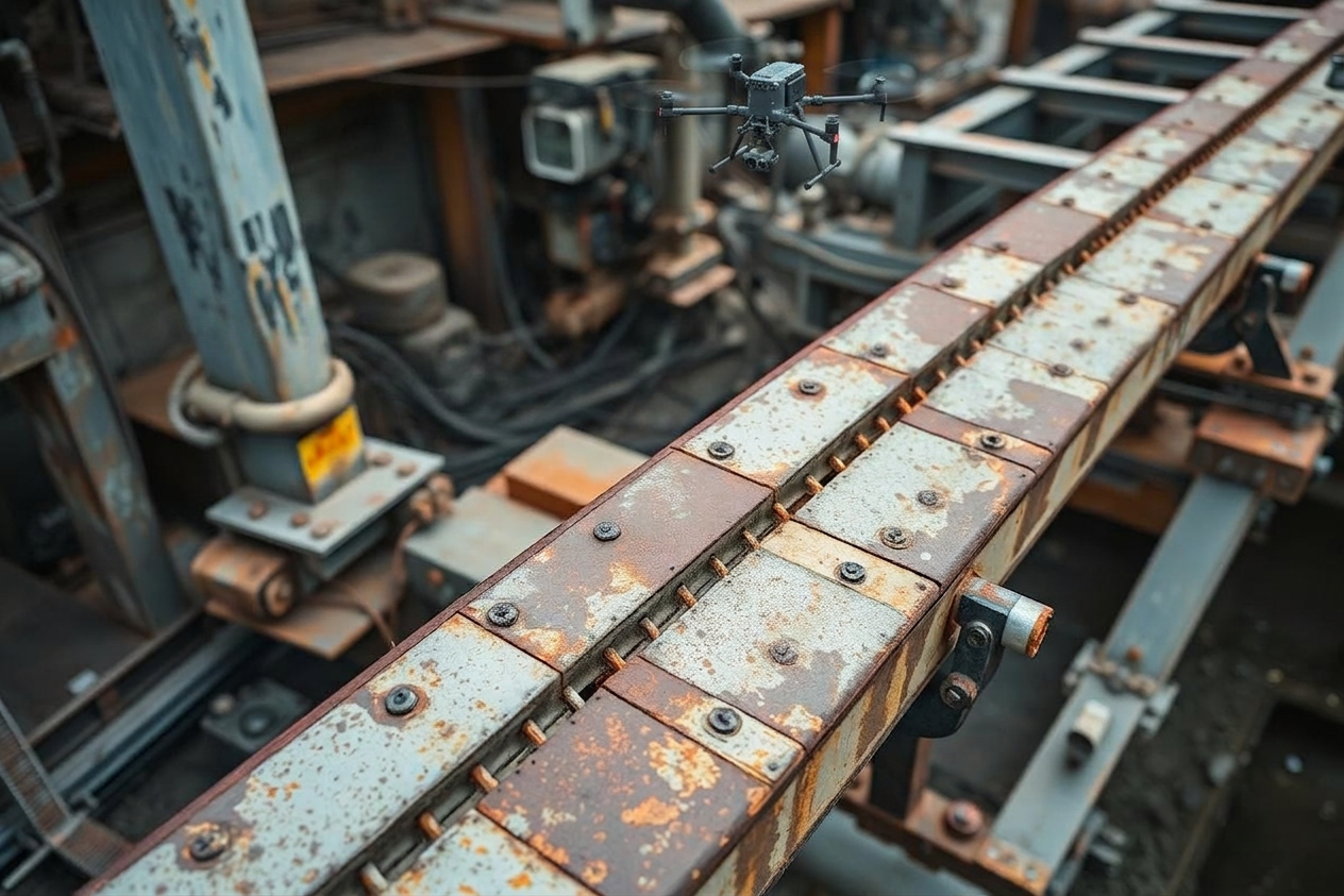
02 // INFRASTRUCTURE
Infrastructure Inspections
Drone-based visual inspections provide safer access to difficult or hazardous areas while improving documentation quality and reducing downtime.
Deliverables
- Conveyor systems
- Roof inspections
- Structural inspections
- Industrial facilities
- Tanks and equipment
- Access roads
- Drainage systems
- Slopes and berms
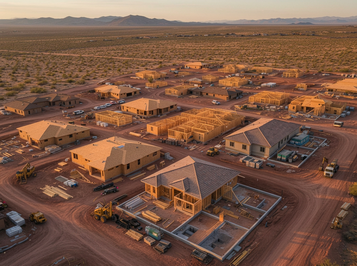
03 // CONSTRUCTION
Construction Progress Documentation
Recurring drone flights provide stakeholders with consistent aerial visibility throughout the lifecycle of a project.
Deliverables
- Weekly or monthly progress flights
- Contractor documentation
- Stakeholder updates
- Timeline tracking
- Before-and-after documentation
- Marketing imagery for completed projects
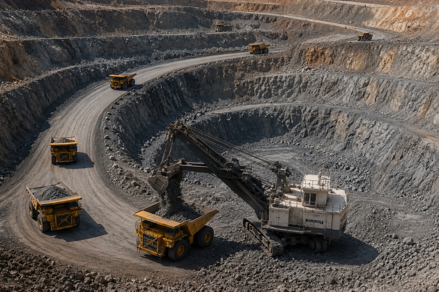
04 // MINING
Mining Support Services
Lurid X understands mining operations and provides drone services designed specifically for operational environments.
Deliverables
- Pit progression documentation
- Stockpile monitoring
- Haul road visualization
- Reclamation tracking
- Equipment area documentation
- Safety-focused aerial overviews