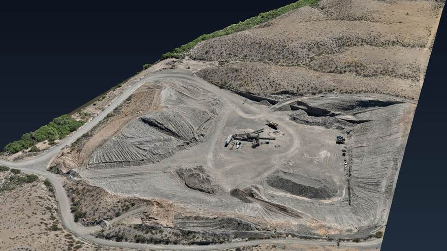
 Whole site
Aggregate pit and processing yard
- Extent
- 3,463 ft
- Relief
- 94.2 ft
- Contours
- 2 ft
Open the model →
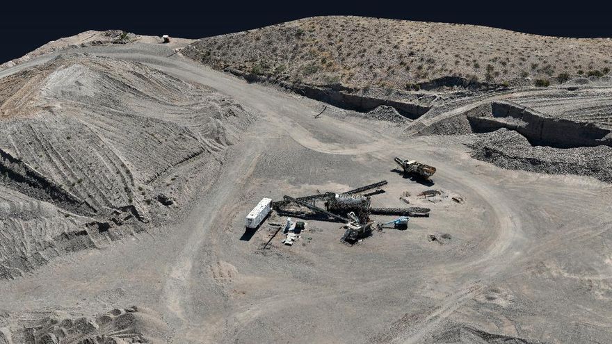 Detail
Processing plant, close range
- Extent
- 591 ft
- Relief
- 55.5 ft
- Contours
- 1 ft
Open the model →
What these are. Photogrammetric surfaces built from RTK-flown imagery. They support planning, quantity estimates and progress comparison between flights, and they let people who will never open a GIS package see and measure the site for themselves.
What they are not. Not boundary or topographic surveys. Elevations read against the model datum rather than a published vertical datum, and the lines are photogrammetric contours. Where a job calls for it, ground control points are used in processing, or independent points are held out to check the result — and the report says which.
Want one of these for your pit, quarry or job site? Request a quote and tell us the acreage and how often you want it flown.